Some of the world’s most beloved travel destinations are facing a slow and largely invisible threat as rising seas and shifting land combine to push iconic places closer to the waterline. Subsidence, a process where the ground beneath a city gradually compresses or collapses, is accelerating the effects of climate-driven sea level rise in coastal regions across every continent. Millions of tourists visit these destinations each year, often unaware that the landscapes they are photographing are measurably lower than they were a generation ago. Scientists, urban planners, and preservation organizations are increasingly sounding the alarm about the long-term future of these sites. Understanding what is at stake adds a new layer of urgency to every trip taken to these extraordinary places.
Venice
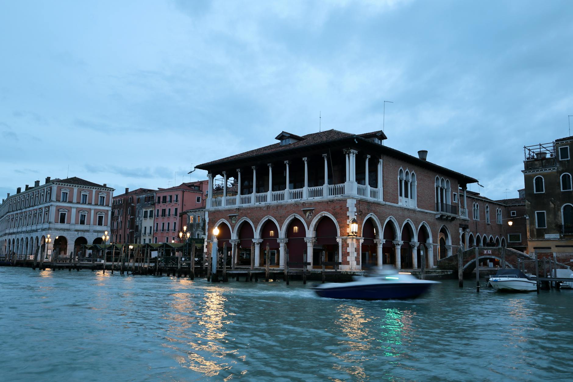
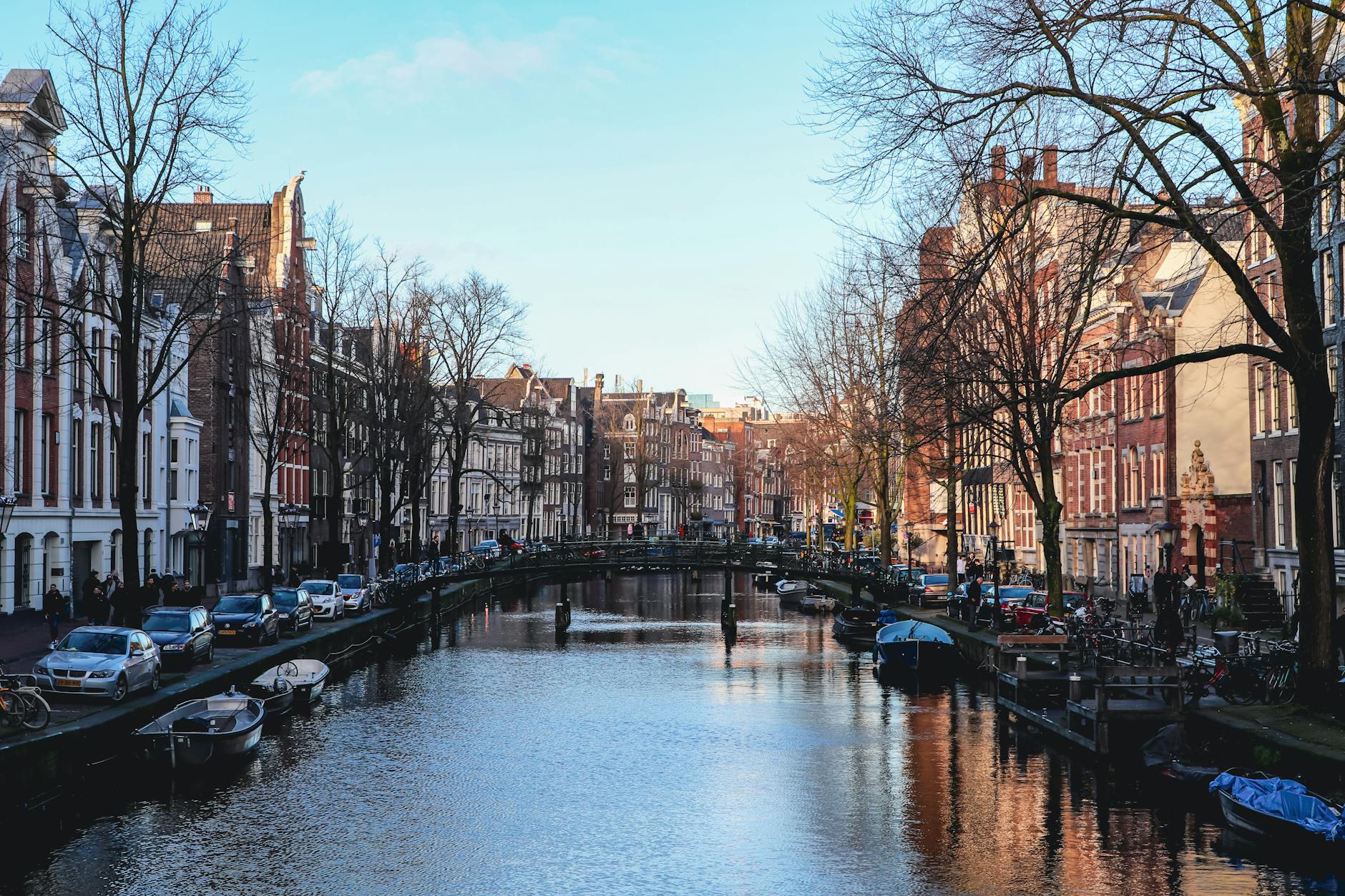
Venice has been sinking into the Adriatic Sea for centuries, and the problem has intensified significantly in recent decades. The city sits on a foundation of wooden piles and sediment that naturally compresses over time, a process once worsened by industrial groundwater extraction. Today the combination of land subsidence and rising sea levels means that flooding events known as acqua alta occur far more frequently than they did even fifty years ago. Iconic landmarks like St. Mark’s Basilica now flood dozens of times each year. Engineering projects like the MOSE barrier system represent a massive and costly effort to keep the city above water.
Jakarta
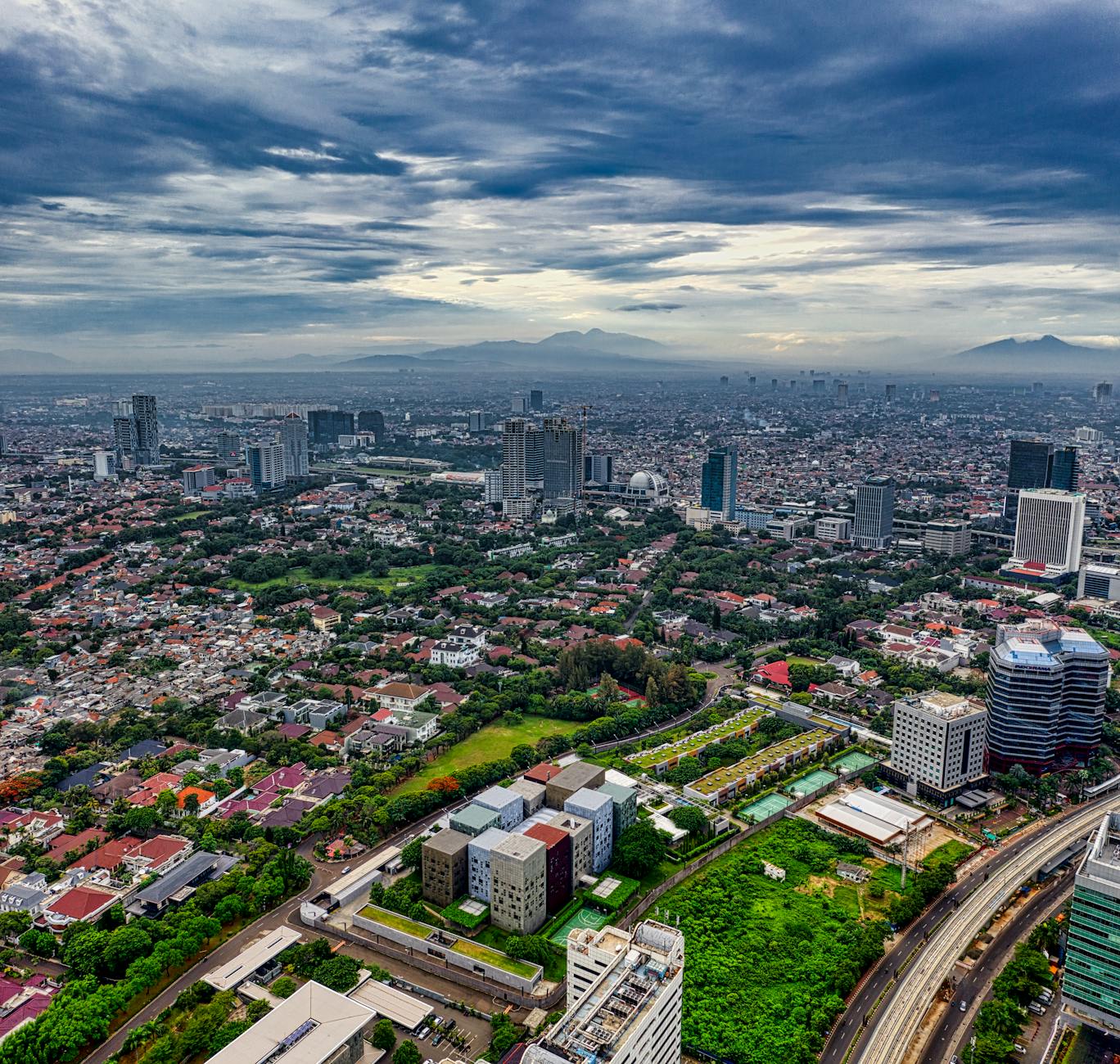
Jakarta is widely considered the fastest-sinking major city on Earth, with some northern neighborhoods having dropped several meters over the past few decades. Excessive groundwater pumping by residents and businesses is the primary driver of this dramatic subsidence. The low-lying coastal districts that attract visitors for their historical ports and seafront markets are among the most affected areas. The Indonesian government has taken the unprecedented step of relocating the national capital to a new city called Nusantara on the island of Borneo. This decision reflects how seriously authorities view the long-term habitability of Jakarta’s coastal zones.
Bangkok
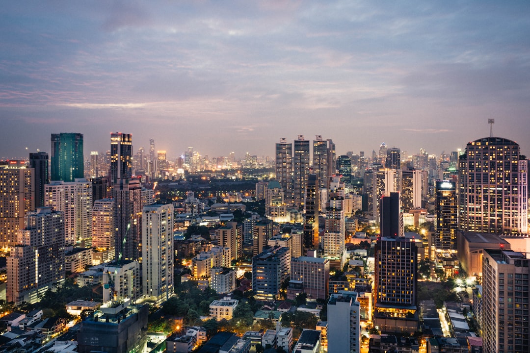
Bangkok sits on a delta of soft clay sediment that has been compressing steadily as the city’s population and infrastructure have grown. Large portions of the Thai capital are now below sea level and depend on an extensive network of pumps and flood barriers to stay dry. The Grand Palace and riverside temple districts that draw millions of tourists annually sit in areas considered highly vulnerable to inundation. Groundwater extraction combined with the sheer weight of urban development has contributed to measurable sinking across many districts. Seasonal flooding already disrupts life in the city each year, and projections suggest conditions will worsen without significant intervention.
Amsterdam
Amsterdam was built on soft peat and reclaimed land, and the city has been managing the challenges of its waterlogged foundation since its founding centuries ago. The historic canal houses that define the city’s skyline were constructed on wooden piles, many of which are now deteriorating beneath the surface. The Netherlands as a whole sits largely below sea level and relies on an elaborate system of dikes, pumps, and water management infrastructure to remain habitable. Sea level rise projections are particularly concerning for the country given how much of its territory is already vulnerable. Amsterdam’s engineers are considered world leaders in adaptive urban water management precisely because the stakes are so extraordinarily high.
New Orleans
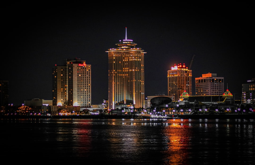
New Orleans is one of the most at-risk cities in the United States, with much of the metropolitan area sitting below sea level in a bowl-shaped basin surrounded by water. The city sinks partly because of natural sediment compaction in the Mississippi River delta and partly due to decades of levee construction that cut off the natural replenishment of the land. Hurricane Katrina in 2005 exposed just how catastrophic flooding can be when the city’s defenses are overwhelmed. The famous French Quarter and Garden District draw enormous numbers of visitors each year to experience the city’s unique cultural heritage. Ongoing investments in flood infrastructure aim to protect the city, but many experts warn that rising seas may eventually outpace what engineering alone can achieve.
Miami
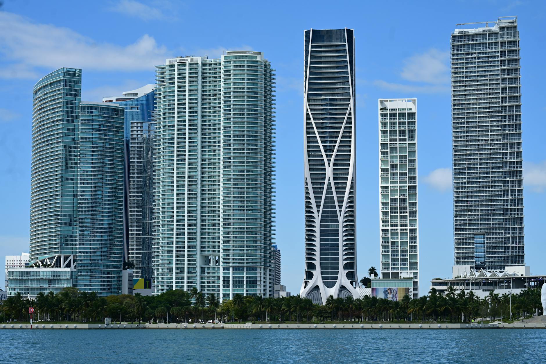
Miami faces some of the most acute sea level rise pressures of any major American city, and the effects are already visible in regular sunny-day flooding across low-lying neighborhoods. The city sits on porous limestone bedrock that allows seawater to push up through the ground, making traditional flood barriers largely ineffective at stopping intrusion. South Beach and Biscayne Bay areas that attract tens of millions of visitors annually are among the neighborhoods experiencing the most frequent flooding outside of storm events. Miami-Dade County has committed billions of dollars to elevating roads, installing pumps, and retrofitting infrastructure to cope with the changing conditions. The long-term economic and cultural future of the city remains a subject of serious debate among climate scientists and urban planners.
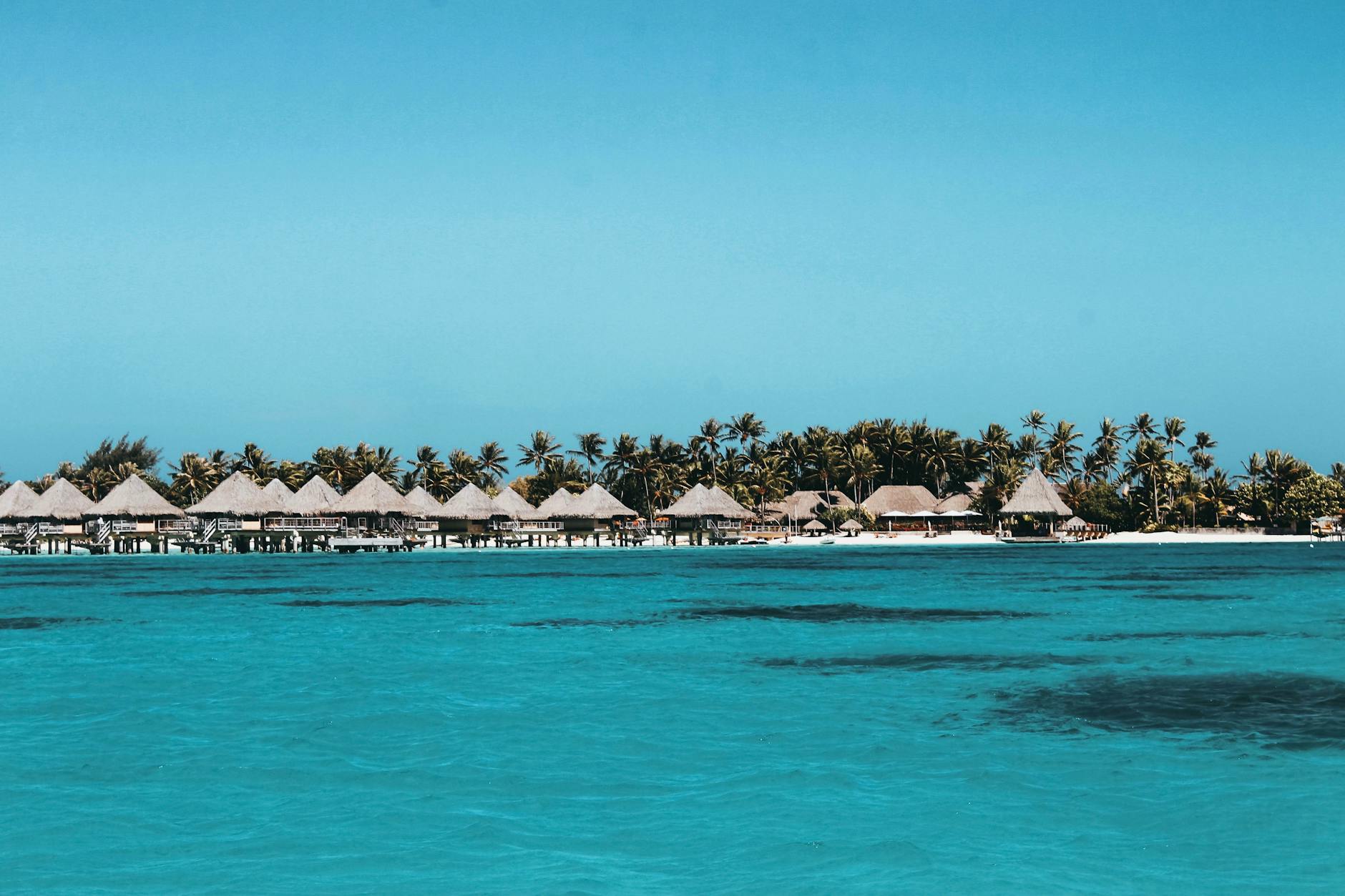
The Maldives
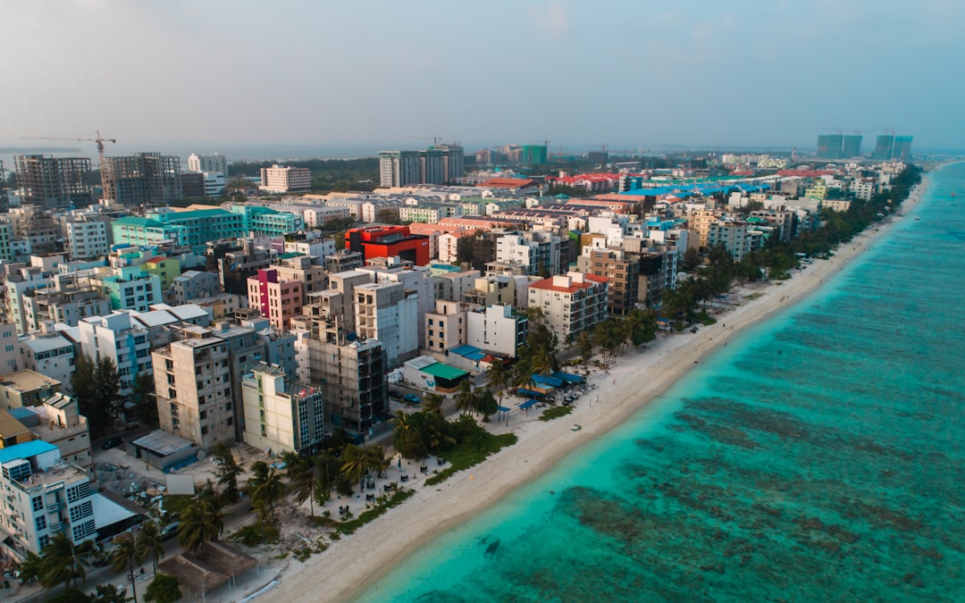
The Maldives is one of the lowest-lying nations on Earth, with most of its inhabited islands sitting less than one meter above sea level. The stunning turquoise lagoons and overwater bungalows that make the archipelago a dream destination for travelers are increasingly threatened by the encroaching ocean. Coastal erosion is already claiming stretches of beach on several islands, and saltwater intrusion is contaminating freshwater supplies. The government has invested in artificial sand replenishment and sea walls to protect key resort islands. Maldivian leaders have been among the most vocal advocates for global climate action, framing the survival of their country as a pressing international issue.
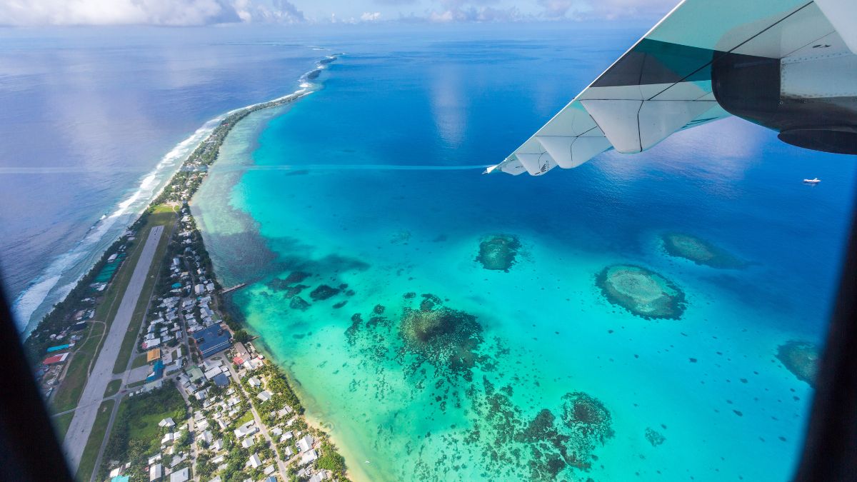
Tuvalu
Tuvalu is a remote Pacific island nation that has become one of the most prominent symbols of climate-driven sea level rise in the world. The country’s nine coral atolls and reef islands sit just a few feet above sea level, making them acutely vulnerable to even modest increases in ocean height. Storm surges already wash across entire islands during extreme weather events, destroying crops and contaminating groundwater. Tourism to Tuvalu remains limited due to its remoteness, but those who visit witness a landscape that exists in a state of genuine environmental precariousness. The Tuvaluan government has signed an agreement with Australia to allow its citizens to migrate as a climate adaptation measure, marking one of the first formal national relocation plans in the world.
Mumbai
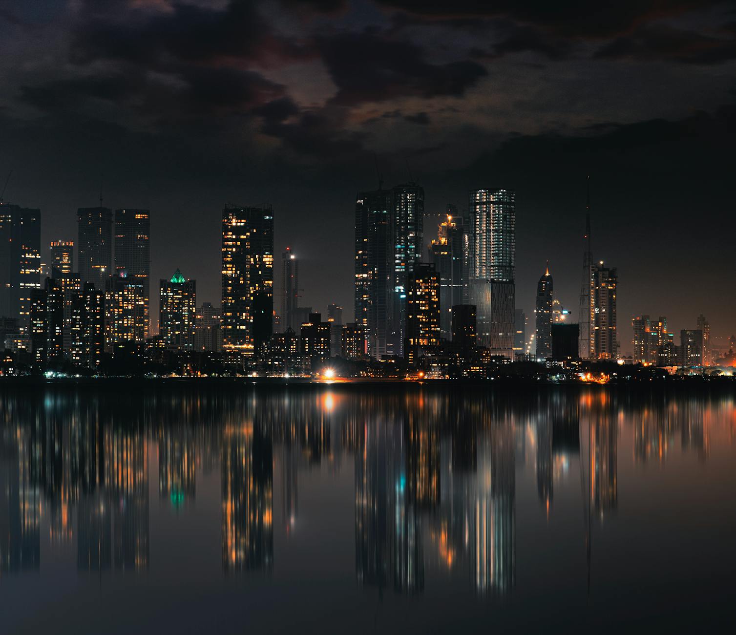
Mumbai is one of the most densely populated coastal cities on Earth and faces a combination of land subsidence, rising seas, and increasingly intense monsoon flooding. Large portions of the city were built on reclaimed land that is particularly susceptible to compression and waterlogging. The historic Gateway of India and the famous Marine Drive promenade sit in areas where high tides and storm surges regularly push water onto streets and into low-lying buildings. Dharavi, one of Asia’s largest urban settlements, is located in a flood-prone zone with limited drainage infrastructure. Urban geographers project that without aggressive intervention, significant portions of the city will face near-permanent inundation by mid-century.
Shanghai
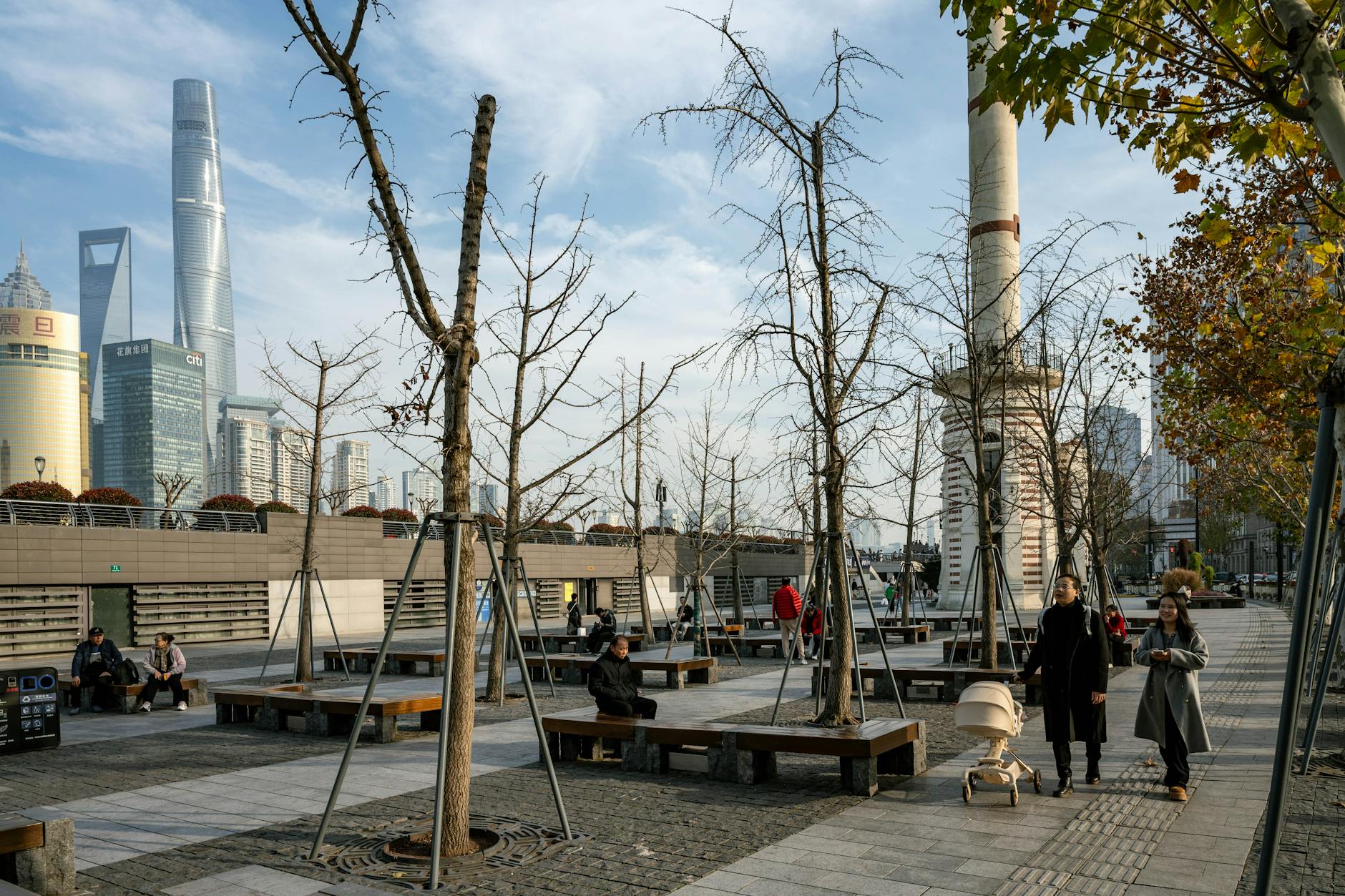
Shanghai has experienced dramatic subsidence over the past century, with some areas of the city estimated to have sunk by several meters due to intensive groundwater extraction and the weight of rapid urban development. China’s most visited city sits at the mouth of the Yangtze River delta, a naturally low-lying area that is highly sensitive to sea level changes. The iconic Bund waterfront and the futuristic skyline of Pudong are located in zones that flood risk models identify as increasingly vulnerable. Chinese authorities have implemented strict groundwater regulations and invested heavily in coastal flood barriers to address the issue. Despite these efforts, the scale of the challenge facing the city grows as global sea levels continue to rise.
Alexandria
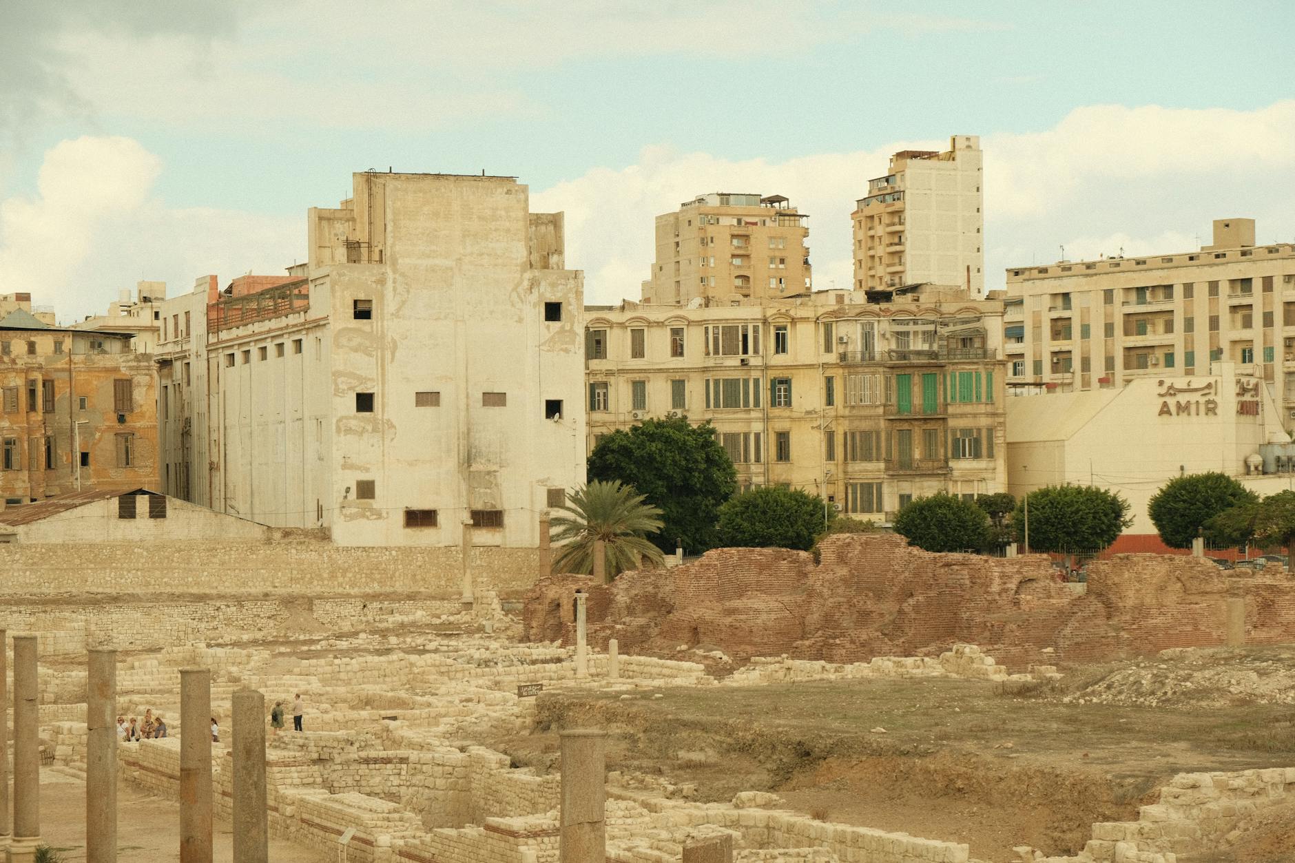
Alexandria is one of the ancient world’s most storied cities and a significant destination for history and culture tourism along the Egyptian Mediterranean coast. Much of the historic city has already been lost to the sea over millennia, and the process continues as the Nile Delta subsides and sea levels climb. The coastline has retreated measurably in living memory, and low-lying residential and tourist areas experience regular flooding during storms and high tides. UNESCO has been involved in efforts to document and preserve the city’s submerged archaeological heritage, which includes remnants of the ancient Pharos lighthouse and Cleopatra’s royal quarters. Experts warn that without protective infrastructure investment, the modern city faces growing inundation risks throughout the remainder of this century.
Dhaka
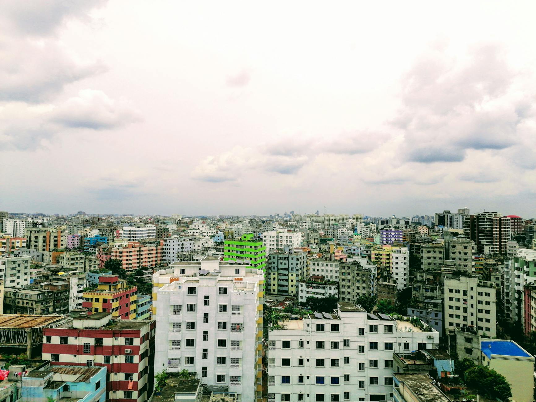
Dhaka is the capital of Bangladesh and one of the most flood-vulnerable megacities in the world, located in a vast river delta that is particularly sensitive to sea level changes. The city experiences catastrophic flooding regularly due to its low elevation, dense population, and position at the confluence of major rivers fed by Himalayan glaciers. Groundwater depletion has accelerated land subsidence in many districts, compounding the risks posed by rising ocean levels. Bangladesh as a whole is projected to lose a significant portion of its land area to inundation by the end of this century. The government has been developing coastal embankments and cyclone shelters, but the scale of the vulnerability facing both the capital and the broader country remains enormous.
Ho Chi Minh City
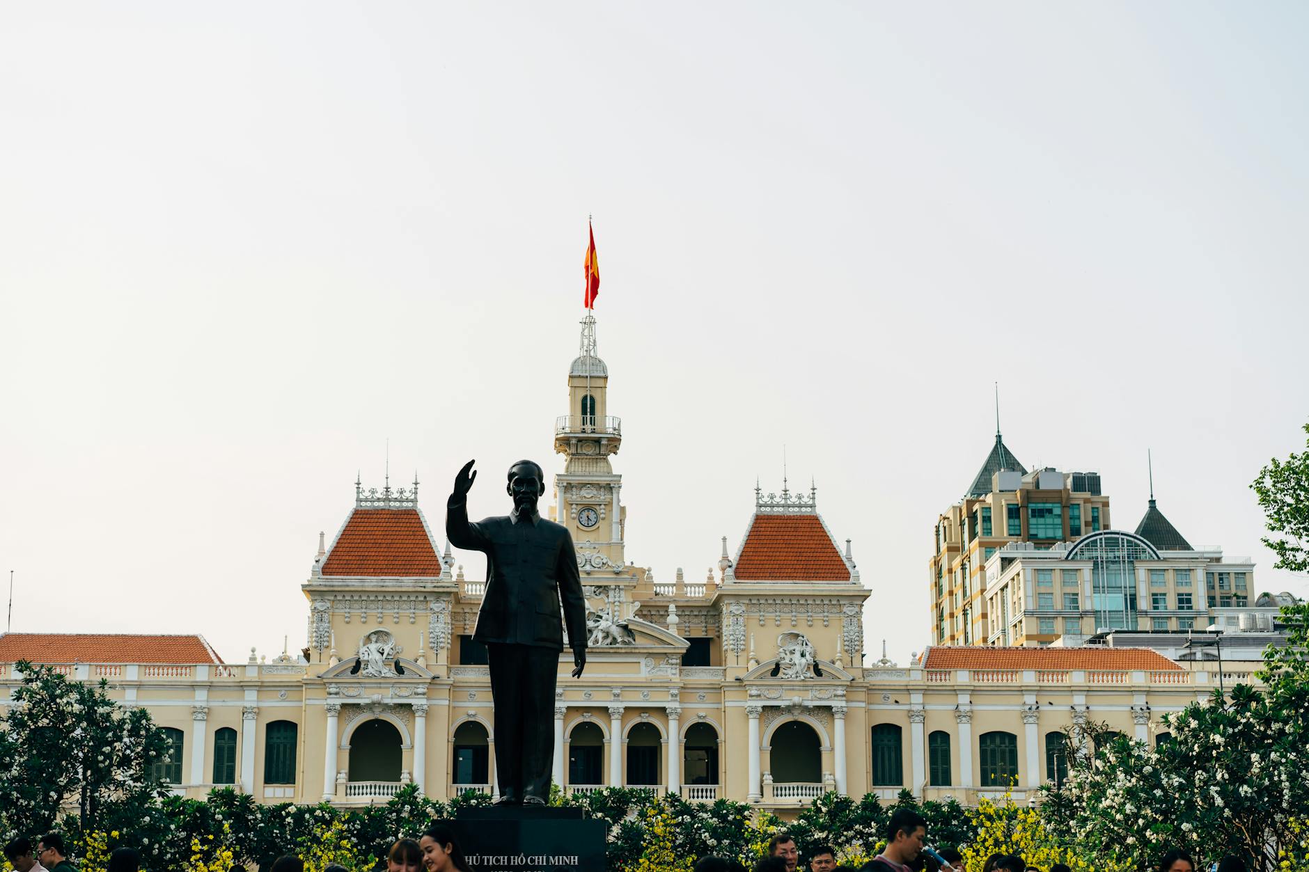
Ho Chi Minh City in southern Vietnam is one of Southeast Asia’s most vibrant and rapidly growing urban centers, and it is also one of the most threatened by sea level rise and land subsidence. The city is built on the soft sediments of the Mekong River delta, and decades of groundwater extraction have caused parts of the urban area to sink considerably. Flooding is already a frequent disruption for residents and visitors in low-lying districts during the rainy season. The historic streets of District 1 and the Ben Thanh market area attract large numbers of tourists and sit in zones that hydrologists flag as increasingly at risk. Vietnam has been developing flood management infrastructure, but the speed of subsidence and sea level rise poses an ongoing challenge for urban planners.
Tokyo
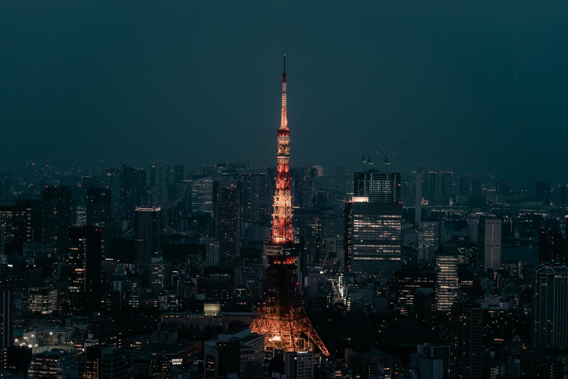
Tokyo has a long history of dealing with land subsidence, having experienced some of the most dramatic sinking of any major city during the twentieth century when extensive groundwater pumping caused rapid ground compression. Strict regulations on groundwater extraction introduced in the 1960s and 1970s effectively halted much of the active sinking, but large areas of the city remain at or below sea level and are protected by an extensive network of levees and underground flood tunnels. The Tokyo Metropolitan Area Outer Underground Discharge Channel is one of the largest flood infrastructure projects in the world, designed to manage the excess water that would otherwise inundate the city. Climate projections suggest that sea level rise will continue to increase the pressure on Tokyo’s flood defenses over the coming decades. The city’s experience managing subsidence is often cited as a model for other sinking cities around the world.
Manila
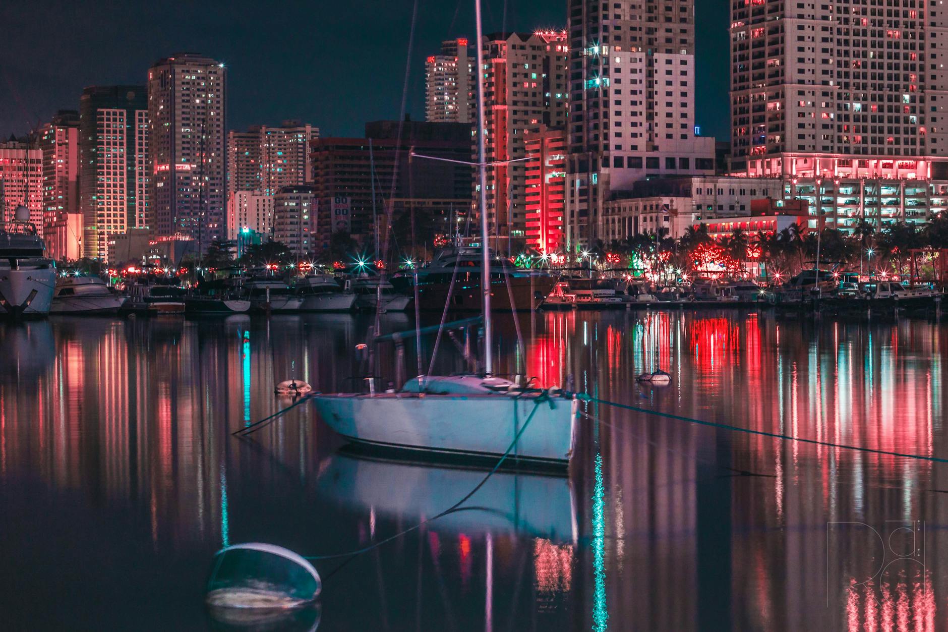
Manila Bay has experienced significant coastal changes over generations, and the low-lying areas of the Philippine capital face serious inundation risks from both storm surges and rising sea levels. Typhoon Haiyan in 2013 demonstrated just how catastrophic storm-driven flooding can be across the Philippine coastline, and Manila itself is exposed to similar threats. Reclaimed land along the bay front sits at minimal elevation and is considered highly vulnerable to future sea level increases. The historic walled city of Intramuros, which draws considerable tourist interest, lies in a flood-prone zone along the Pasig River. Government-funded coastal resilience projects are underway, but experts note that the pace of development and population growth continues to outstrip the speed of protective infrastructure improvements.
Which of these destinations have you visited, and did the environmental challenges change the way you experienced the place? Share your thoughts in the comments.